
FLOOD WATCH REMAINS IN EFFECT FROM FRIDAY MORNING THROUGH FRIDAY EVENING...
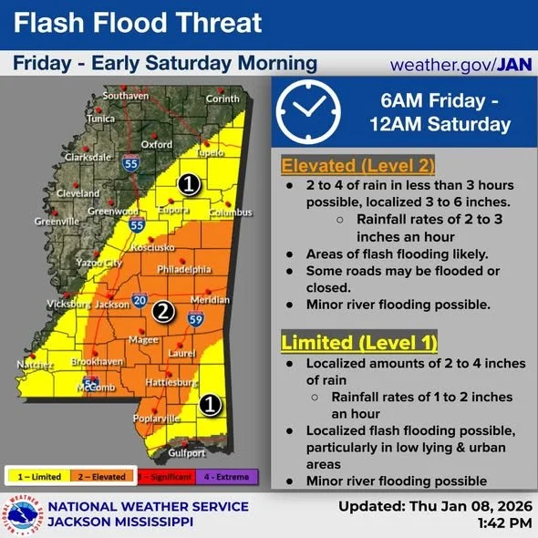
* WHAT...Flash flooding caused by excessive rainfall continues to be
possible.
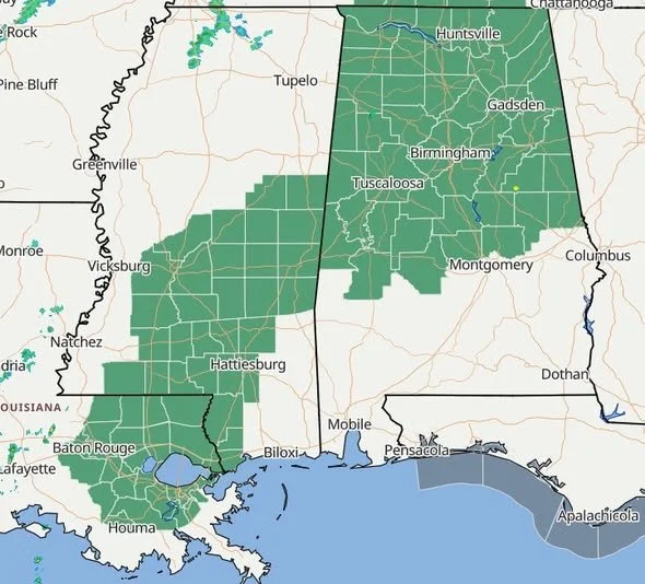
* WHERE...Portions of central, east central, south central, and
southeast Mississippi, including the following areas, in central
Mississippi, Copiah, Hinds, Leake, Madison MS, Rankin, Scott,
Simpson and Smith. In east central Mississippi, Clarke, Jasper,
Kemper, Lauderdale, Neshoba, Newton, Noxubee and Winston. In south central Mississippi, Jefferson Davis, Lawrence, Lincoln and
Marion. In southeast Mississippi, Covington, Forrest, Jones and
Lamar.
* WHEN...From Friday morning through Friday evening.
* IMPACTS...Excessive runoff may result in flooding of rivers,
creeks, streams, and other low-lying and flood-prone locations.
Flooding may occur in poor drainage and urban areas. Storm drains and ditches may become clogged with debris.
* ADDITIONAL DETAILS...
- 2 to 3 inches of rain could fall within a short period time.
Totals of 3 to 6 inches are possible.
- http://www.weather.gov/safety/flood
PRECAUTIONARY/PREPAREDNESS ACTIONS...
You should monitor later forecasts and be prepared to take action
should Flash Flood Warnings be issued.