
7-Day Forecast
Today
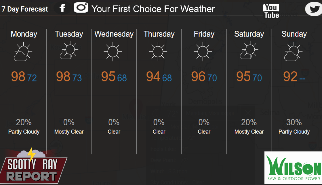
A 20 percent chance of showers and thunderstorms after 2pm. Sunny and hot, with a high near 99. Heat index values as high as 105. Calm wind becoming east around 5 mph in the afternoon.
Tonight
Mostly clear, with a low around 73. Calm wind.
Tuesday
Sunny and hot, with a high near 99. Heat index values as high as 105. Light and variable wind becoming east 5 to 10 mph in the afternoon.
Tuesday Night
Mostly clear, with a low around 74. East southeast wind around 5 mph becoming calm in the evening.
Wednesday
Sunny and hot, with a high near 97. East wind 5 to 10 mph.
Wednesday Night
Mostly clear, with a low around 69. East wind around 5 mph becoming calm in the evening.
Thursday
Sunny, with a high near 95. Light east wind becoming east northeast 5 to 10 mph in the morning.
Thursday Night
Clear, with a low around 68. East wind around 5 mph becoming calm.
Friday
Sunny and hot, with a high near 97. Light east northeast wind increasing to 5 to 10 mph in the morning.
Friday Night
Mostly clear, with a low around 70.
Saturday
Sunny and hot, with a high near 97.
Saturday Night
Mostly clear, with a low around 70.
Sunday
A 40 percent chance of showers and thunderstorms. Mostly sunny, with a high near 95.