
7-Day Forecast 8-15-26
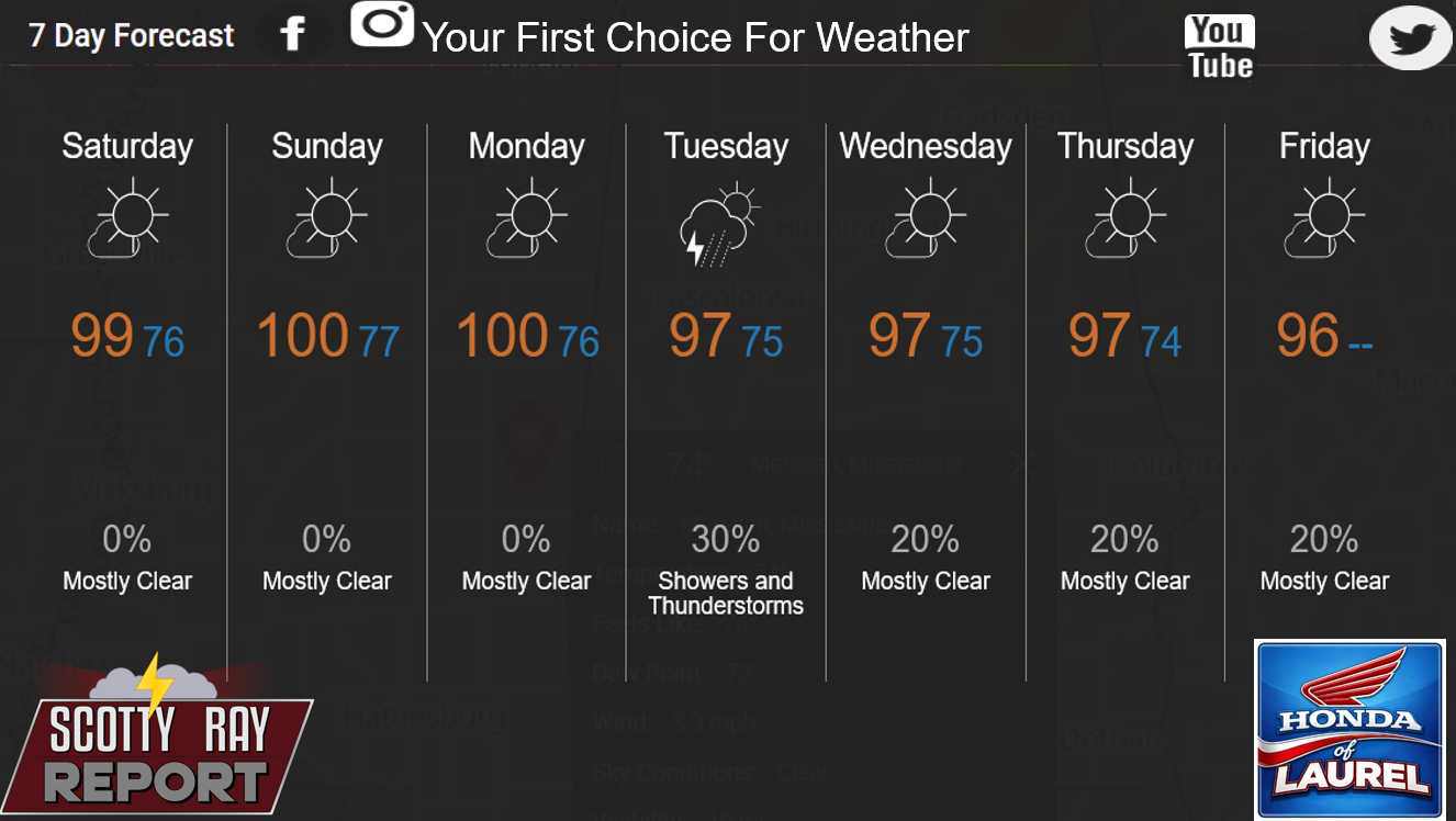
Today
Sunny and hot, with a high near 101. Heat index values as high as 108. West northwest wind around 5 mph.
Tonight
Mostly clear, with a low around 76. Calm wind becoming southwest around 5 mph.
Sunday
Sunny and hot, with a high near 101. Heat index values as high as 108. West northwest wind around 5 mph.
Sunday Night
Mostly clear, with a low around 77. Calm wind becoming west southwest around 5 mph after midnight.
Monday
Sunny and hot, with a high near 102. West wind around 5 mph.
Monday Night
Mostly clear, with a low around 76. West southwest wind around 5 mph becoming calm.
Tuesday
A 30 percent chance of showers and thunderstorms after 1pm. Mostly sunny and hot, with a high near 100. West wind around 5 mph.
Tuesday Night
A 20 percent chance of showers and thunderstorms before 1am. Partly cloudy, with a low around 75. Southwest wind around 5 mph becoming calm.
Wednesday
A 20 percent chance of showers and thunderstorms after 1pm. Mostly sunny and hot, with a high near 99. West wind around 5 mph.
Wednesday Night
A 20 percent chance of showers and thunderstorms before 1am. Partly cloudy, with a low around 76.
Thursday
A 30 percent chance of showers and thunderstorms. Mostly sunny and hot, with a high near 98.
Thursday Night
A 20 percent chance of showers and thunderstorms. Partly cloudy, with a low around 74.
Friday
A 20 percent chance of showers and thunderstorms. Sunny, with a high near 96.